Maps, maps, maps..
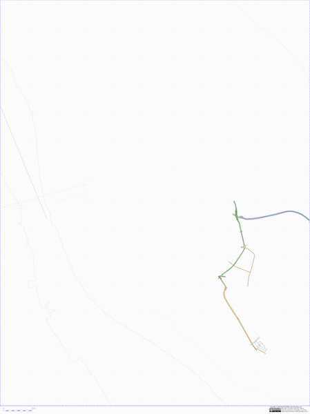
I’ve been contributing to a project called “Open Street Map” (OSM) now for about seven months. OSM is attempting to create a map of the world that is available to everyone to use, and modify, for no charge. During my time mapping with OSM I’ve been able to vastly improve the coverage of Liverpool (my home city). With a lot of help from my Dad the coverage has gone from basically nothing in Liverpool to a point where two postcodes have been comprehensively mapped, and the south of Liverpool is looking really rich in data. See the animation below to see how coverage has increased over the months:

Click the animation for a larger, slower, non-repeating version)
Now while I’ve spent lots of my spare time in the last seven months mapping, I’ve also spent all of my work time doing map-related activities (considering I work for multimap.com that’s not a big surprise). In September 2006 we made the Multimap API v1.1 available to the public (v1.0 being a private beta). Over the following four months we worked hard to build on that release, responding to comments from our clients and to build in new ideas that we had come up with while designing our new public site (more on that in a moment…) After the release of v1.2 of the Multimap API (incorporating such features as marker decluttering, our own take on “hybrid” maps and a hugely functional database backed spatial searching module) I moved onto helping out on the build of the new public site.
Our new public site is a great leap from the previous site: big maps, easy access to useful information on the map and really easy to use personalised services such as favourites and search history. We got a huge response to the launch of the new site, lots of people were happy to finally see draggable maps on multimap.com and loved being able to see things like wifi hotspots and cash points highlighted. There was also a number of people that weren’t so happy about us making such a big change to a service they make so much use of, the biggest problem being something we’ve recently remedied - the lack of Ordnance Survey Landranger maps. Unfortunately we weren’t able to get contractual terms and pricing agreed with OS in time for the initial launch.
So, I’ve covered Open Street Map, and Multimap in this blog post. OSM are creating a truly global, good looking and, most imporantly, free map. Multimap have a really good front-end for displaying maps, searching for locations and finding routes. Wouldn’t it be nice to see OSM maps inside Multimap? Well, using a little JavaScript hackery, and the “custom map type” features of the Multimap API it’s actually possible. I’ve knocked up a little “bookmarklet” that you can add to your browser’s favourites. Once you’ve added it you can browse to multimap.com, click on the new favourite and you will see two new map types appear in the widget on the top left: “mapnik” and “osmarender”. Clicking on either of these will make OSM maps appear in the page. The two options are provided by the two different methods that are used for rendering these images, you will probably notice differences in style and coverage between them but rather than go into detail on why that is here I’m going to direct you to the relevant pages on the OSM wiki.
You’re probably eager to try this out for yourself now so here’s the bookmarklet:
EDIT - please see this later blog post for an updated version of this bookmarklet
Either right click the link and add it directly to your favourites or simply drag it to your Bookmarks Toolbar. Clicking on it on this page won’t do anything as there’s no map! I’ve tried this in Firefox and Safari, I’m pretty sure Internet Explorer can’t handle bookmarklets like this and I haven’t tried Opera.
Everything on the site should continue to work fine, such as location searches and routing, though the route highlight might not overlay perfectly on the OSM maps. Unfortunately you’ll get [object Object] in the URL bar but that doesn’t actually affect the operation of the site.
In it’s current form this won’t be appearing on the public site by default, at the moment the tiles are being pulled directly from the OSM servers so we wouldn’t want to suddenly divert large amounts of traffic to them. Multimap are big fans of OSM though and we do already have the capability to display different types of map on the site so who knows, maybe in the future…
Update: 2nd August 2007 - We’ve rolled out some style changes to the API that will break the old version of the bookmarklet. Get hold of the new copy using the OSMify link above.
Update: 13th February 2008 - I’ve taken the link out from above as there’s a new version described on this page.
Technorati tags: javascript, bookmarklet, osm, openstreetmap, map, liverpool
Comments
— Tyom
— Some fun stuff - Multimap, OSM and Tiles | OMB
— new multimap stuff (ooo, shiny things...) « colmmcmullan
— Multimap Open API - blog.andyhume.net