Recent Mapping Activities
I thought it was about time I mentioned mapping in my blog again. I’ll start by mentioning a recent development with the Multimap Open API. Expanded UK data coverage is now available which should enable a lot more interesting UK mashups. The article mentions in more detail what is now available but basically you can use Ordnance Survey Landranger maps together with full UK postcode lookups. I’m really hoping that this will get people excited enough to knock up some cool demos. The blog posting over on blog.multimap.com shows an example plotting a trace from when I took five multimappers off walking in the hills of Wales, but I’m sure there’s a lot more that can be done (geocachers are you listening?)
My second link is actually about something that Microsoft have done using the traffic logs from their Virtual Earth (Live Maps) traffic logs. It’s been a few weeks since the link was posted but I wanted to also link to a similar thing that was done using Open Street Map traffic data. You can also view stats on the 10 most popular tiles from the innovative “Tiles@home” project (scroll down the page, or search for “Popular areas”).
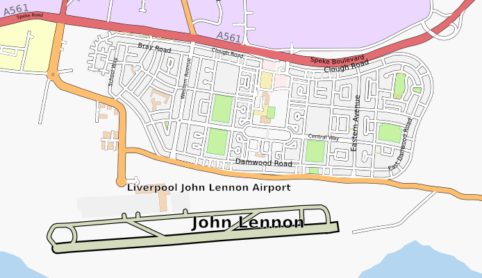
Arbitrary Map of Liverpool, see below for explanation
Finally I should mention that I’m organising an Open Street Map mapping party in Liverpool in a few weeks time. Venue is yet to be confirmed but the date has been set to the 10th and 11th November (2007). You can visit the OSM wiki page for Liverpool or the event page on upcoming.org for more information. Liverpool’s coming along really well but there’s still plenty more to be done, hope to see you there!
Technorati tags: osm, openstreetmap, maps, mapping, liverpool, merseyside, ordnancesurvey

